Evolution of Author's Use of Early 3D Recording Technologies - 1979 to 2007
Richard Clymer with first HP Computer Transit in North American archaeology- First deployed in the at Raritan Landing by Dr. Grossman in 1979. It was limited to angle distance measurements, had no memory, and all readings had to be hand-entered into a seperate module.
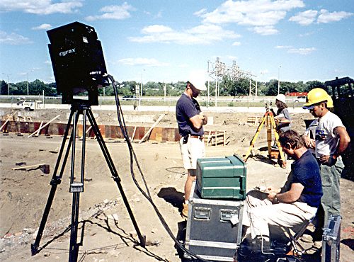
Second generation of computer Transit deployed by Dr. Grossman at the Broad St. four years after Raritan Landing - Note attached portable computer programmed to serve as a data collector and calculator to convert raw angle and distance readings into coordinates with the in-house programs written in Basic.
Photo by Joel Grossman,
Courtesy of Greenhouse Conosultants, Inc.
Courtesy of Greenhouse Conosultants, Inc.
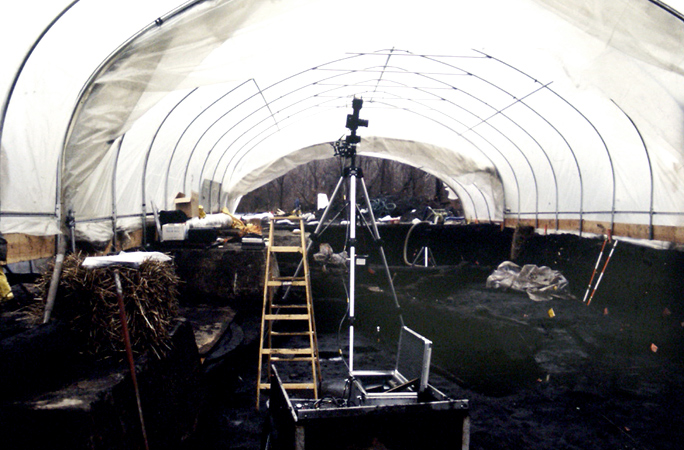
Rolleimetric short-distance single-camera photogrammetric system under winter shelter at West Point Foundry, 1989
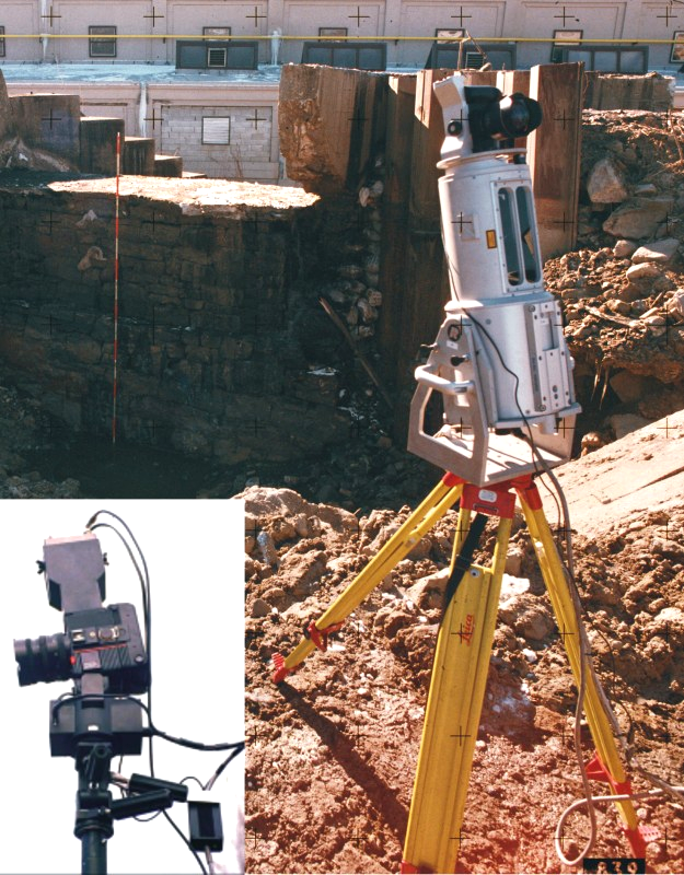
2004 - Detail of Rolleimetric camera and first generation (9/2003)of the new color laser-radar system at Furnace Falls Dam, Stanhope, NJ
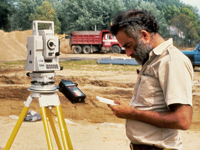
Joel Grossman using first Total Station with integrated data collection and conversion systems to map subtle topography across a buried 3000 year old Broadspear living surface at Fort Edward, New York.
First generation of monochrome Lidar (1998) deployed by Dr. Grossman with the Rolleimetric photogrammetry, Albany, NY
[Flowchart of Historic GIS] [3D Recording - 1979 - 2007] [Dr. Grossman history of computer transits ]
[Raritan Landing -1979] [Broad St. - 1984] [Fort Edward - 1986] [Loiza - 1987] [Superfund at West Point Foundry -1989-1995] [Early LIDAR in Albany-1999]
[Meadowlands GIS Plan - 1992 - 2006] [Mitigation Plan - Furnace Falls 2002 ] [Furnace Dalls - Color LIDAR -2004]
[Meadowlands GIS Plan - 1992 - 2006] [Mitigation Plan - Furnace Falls 2002 ] [Furnace Dalls - Color LIDAR -2004]
2004
1999
1989
1986
1983
1979