(Grossman 2004, Figure 15)
[ff-Report] [ff_Flood] [ff_DEM_Stanhope] [ff_1828_Map] [ff-3DGIS_GDavis] [ff-Base_Map] [ff-Haul_Road_Map] [ff-1858_gismap] [ff-Foundry_Recon] [ff-Foundry_gis] [FF-CAD_plan] [ff-Jeff-Joel] [ff_Wintersite]
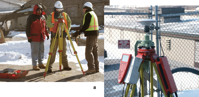
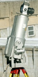
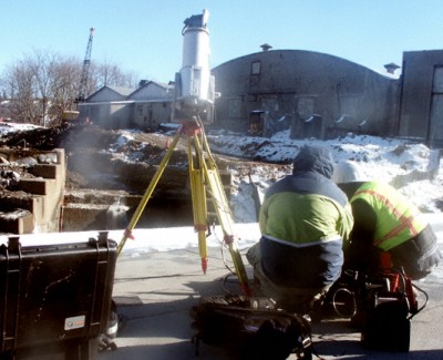
[ff-Dewatering] [ff-Deicing] [ff-Draining] [ff_EDM-GPS] [ff-LIDAR] [ff-LidarScan1] [ff-LidarScan2] [ff-LidarScan3] [ff-RolleDmProfile] [ff-Rollie-Lidar]
[ff-Dewatering] [ff-Deicing] [ff-Draining] [ff_EDM-GPS] [ff-LIDAR] [ff-LidarScan1] [ff-LidarScan2] [ff-LidarScan3] [ff-RolleDmProfile] [ff-Rollie-Lidar]
To LIDAR Slideshow
To LIDAR Videos
[Raritan Landing -1979] [Broad St. - 1984] [Fort Edward - 1986] [Loiza - 1987] [Superfund at West Point Foundry -1989-1995] [Early LIDAR in Albany-1999]
[Meadowlands GIS Plan - 1992 - 2006] [Mitigation Plan - Furnace Falls 2002 ] [Furnace Falls - Color LIDAR -2004]
[Meadowlands GIS Plan - 1992 - 2006] [Mitigation Plan - Furnace Falls 2002 ] [Furnace Falls - Color LIDAR -2004]